Official Project Title:
GIS-Based Environmental Resources Inventory for Upper Dublin Township
Completed August 2007
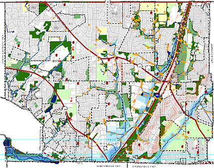
The CSC developed a GIS based environmental resources inventory of Upper Dublin Township, Montgomery County, PA. The inventory primarily included elevation data and natural and built environment data. The final output of the study included a series of GIS data, metadata, a technical report, and a series of GIS maps to be published in the township's web site.
Partial List of GIS-Based Data Inventory:
- Contours
- Digital elevation model
- Digital ortho-photos
- Floodplains
- Fractional vegetative coverage
- Geology
- Historic sites
- Hydric soils
- Landuse
- Parks and open spaces
- Pervious surfaces
- Ponds
- Riparian buffers
- Steep slopes
- Stormwater basins
- Streams
- Tree canopy coverage
- Watershed boundaries
- Wellhead protection areas
- Wetlands